Our projects
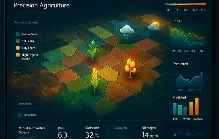
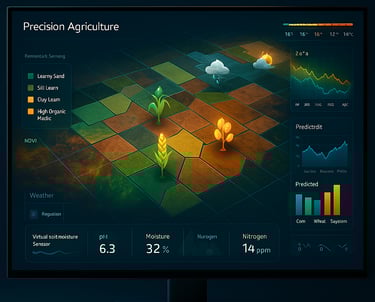
GIS-Based Crop Suitability and Weather-Adaptive Cultivation Recommendation System
This GIS project leverages spatial analysis, remote sensing data, and weather forecasting to recommend the most suitable crops for cultivation in specific regions. It integrates historical climate data, real-time weather conditions, and soil characteristics to assist farmers and agronomists in making data-driven decisions for maximizing yield and minimizing risks.
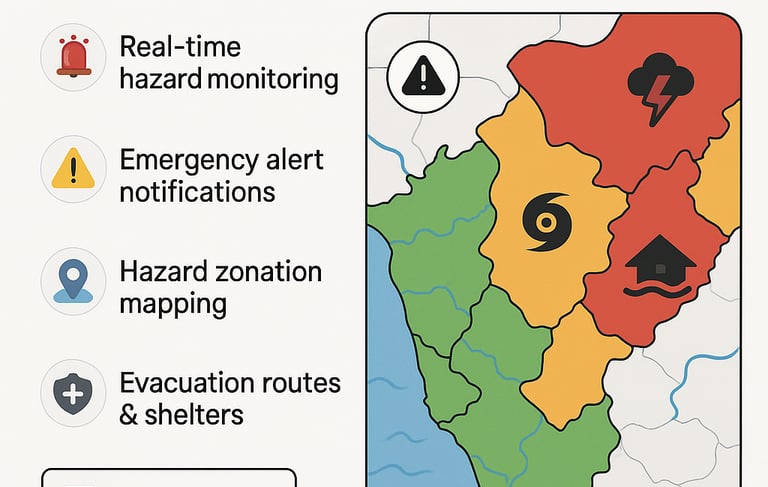
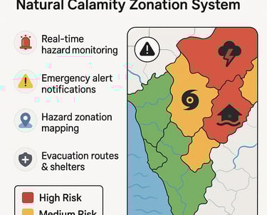
GIS-Based Emergency Alert and Natural Calamity Zonation System
This GIS project focuses on identifying, mapping, and categorizing areas based on their vulnerability to natural disasters (like floods, cyclones, earthquakes, landslides, droughts, etc.) and integrating real-time data feeds for issuing emergency alerts. It aims to support disaster management authorities in planning, mitigation, evacuation, and response efforts.
GIS-Based Shortest Path Navigation System for Two-Wheelers
This project develops a GIS-based routing application to calculate the fastest or shortest path specifically for two-wheelers, considering bike-legal roads, narrow lanes, one-way rules, traffic restrictions, and real-time constraints. It integrates spatial road network data with routing algorithms to support efficient travel and delivery planning in urban and semi-urban environments.

